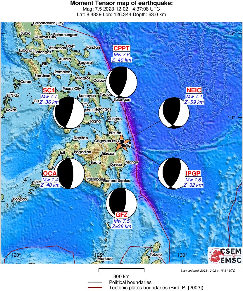
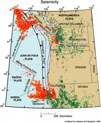
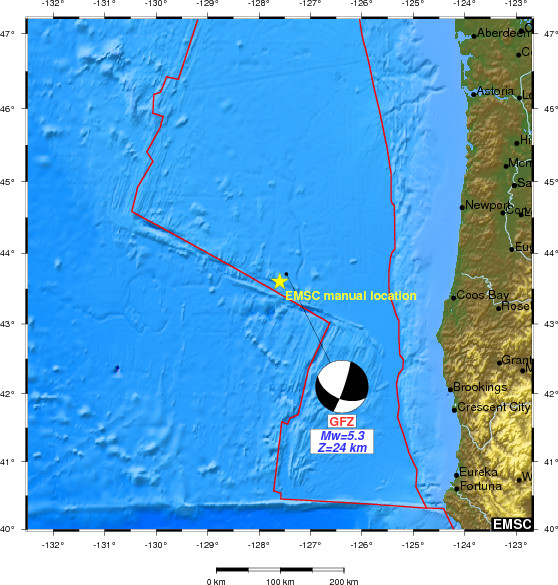
In the Pacific Ocean off Oregon, USA, on the lithospheric plate, Juan de Fuca, January 30, 2013 - 5.3 magnitude earthquake at a depth of 10.2 km.
Data.
| Magnitude | 5.3 |
|---|
| Date-Time | |
|---|
| Location | 43.566 ° N, 127.598 ° W |
|---|
| Depth | 10.2 km (6.3 miles) |
|---|
| Region | OFF THE COAST OF OREGON |
|---|
| Distances | 263 km (163 miles) WNW of Bandon, Oregon
274 km (170 miles) W of Coos Bay, Oregon
347 km (215 miles) W of Roseburg, Oregon
364 km (226 miles) WSW of Corvallis, Oregon
|
|---|
| Location Uncertainty | horizontal + / - 16.7 km (10.4 miles); depth + / - 2.8 km (1.7 miles) |
|---|
| Parameters | NST = 282, Nph = 287, Dmin = 276.1 km, Rmss = 1.42 sec, Gp = 158 °,
M-type = body wave magnitude (Mb), Version = 7 |
|---|
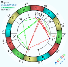
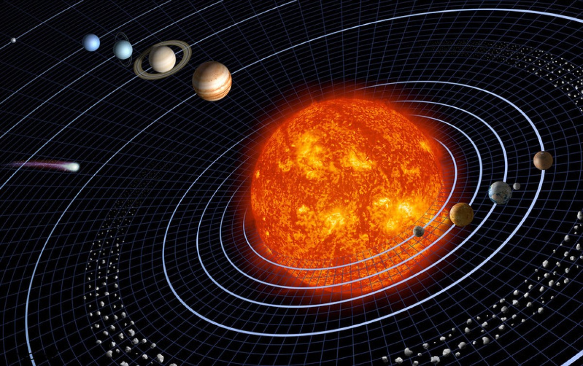
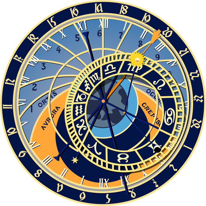
The region is projected gravitational wave Saturn, Proserpine.
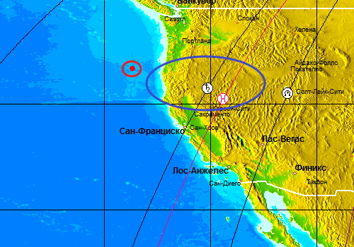
The projection of the planets in the region, January 30, 2013.
Earthquake in Oregon, USA, 30 January 2013 - caused a complex cosmological factors. Reversal
of Jupiter in direct motion on the background of an active axis
Disaster-Antares-Aldebaran, the Axis of Heaven-Sirius, Canopus Vega
point GC-galactic center, Nebula Akuleks-rays and Fixed Stars, Spica,
Arcturus, Agen, Rigel has caused seismic response in the subduction ,
rattling seismic zones.
Jupiter is in direct motion in turn. Seismic response.
After turning, January 30, 2013 - Jupiter will enter the compound with star Aldebaran, Antares on the opposition to the Axis of Disaster.
The axis of the disaster will give the seismic resonance from 21 - 31 January 21 - March 31, 2013.
Seismic
event will occur in areas rattling at the junction of tectonic plates,
subduction zones and in areas of recent seismic activity in the center
of continents.
Earthquake in Oregon occurred in the area 119-card earthquake forecast for January 2013.
The forecast date are resonant seismic zone 119 - Probability-65 - 85% - 1, 6, 11, 15, 19, 27, 29-30 / 01/2013.
As
indicated in the forecast date is likely to continue seismic activity,
earthquake resonance in the region, and the eruption of active submarine
volcanoes.
The
next date of increase seismic activity, volcanic activity in the
resonance tectonic faults, in subduction zones, active seysmozonah:
Full Moon, 27 January 2013 - seismic response + - 3 days.
Reversal of Jupiter in direct motion, January 30, 2013 - seismic response + - 2 weeks.
Reversal of Proserpine in the reverse movement, February 9, 2013 - seismic response + - 1 week. Projected to Oregon, California.
New Moon, February 10, 2013 - seismic response + - 3 days.
Reversal of Saturn in retrograde motion, February 18, 2013 + - 2 weeks. Projected to Oregon, California.
Research
linking seismic activity, volcanic activity, stress symptoms Verses
space factor, the gravitational fields of the planets, solar activity,
torsion fields and beams of near and far space, the fixed stars,
nebulae, galaxies, being in the method of "Astrology as a security system." Software- ZET GEO.
Andrey Andreev-kosmoritmolog.
Astrology as a security-Praemonitus praemunitus-forewarned is forearmed.
Help.
Lithospheric plate of Juan de Fuca (named after the explorer Juan de
Fuca, a Greek, who served in Spain) - tectonic plate, rising from an
underwater mountain range, the Juan de Fuca and the "diving" under the
northern part of the western edge of the North American plate.
Juan de Fuca plate in the south of the fault zone is bounded Blanco
(born Blanco Fracture Zone), in the north - Nootka fault (English Nootka
Fault), and on the west side - the Pacific oceanic plate.
Initially the Juan de Fuca plate was part of the once vast Farallon
Plate (born Farallon Plate), gone deep under the North American plate
and is divided into three parts.
The name plate is used in some cases for the entire underwater area
spreading (from Fr. Vancouver in the north to northern California in the
south), in other cases - only the central part of the zone spreading.
After the separation of the plates of names of Juan de Fuca, the South
became known as the Gorda plate (born Gorda Plate), and the north - the
Explorer plate (born Explorer plate).
By dipping Juan de Fuca plate beneath the North American plate in the
western U.S. have volcanic Cascade Mountains, which stretch along the
western coast of North America from the southern border of British
Columbia to the northern part of the U.S. state of California, and are
part of the volcanic Pacific Ring of Fire. The last major earthquake in the Juan de Fuca plate was 8,7-9,2 magnitude on the Richter scale. According to Japanese registration data, the Cascadia earthquake happened the evening of Tuesday, January 26, 1700.
Then a huge wave wiped out coastal towns and villages at the mouth of
the Columbia River, and the echoes of the disaster sunk right up to the
coast of Japan.
The earthquake on the surface of Juan de Fuca plate formed fault length
of about 1,000 kilometers and an average width of 20 meters.
|


